top of page

USV CONVERSION SYSTEM

​

UNMANNED SURFACE VEHICLE [USV]

​

COST-EFFECTIVE AND RISK-REDUCING DATA ACQUISITION

 
​
usv_symbol.png
conv.sys_oppsett_001_web.jpg
A unique opportunity to take advantage of the possibilities for unmanned surface operations.

​

Some users want the option of using their survey boat in an unmanned mode, while still having the option of manned use. Other users see a potential in using Unmanned Surface Vehicles, but are not yet ready to invest in a custom USV platform. For those users the Maritime Robotics USV Conversion System offers a unique opportunity to take advantage of the possibilities for unmanned surface operations.
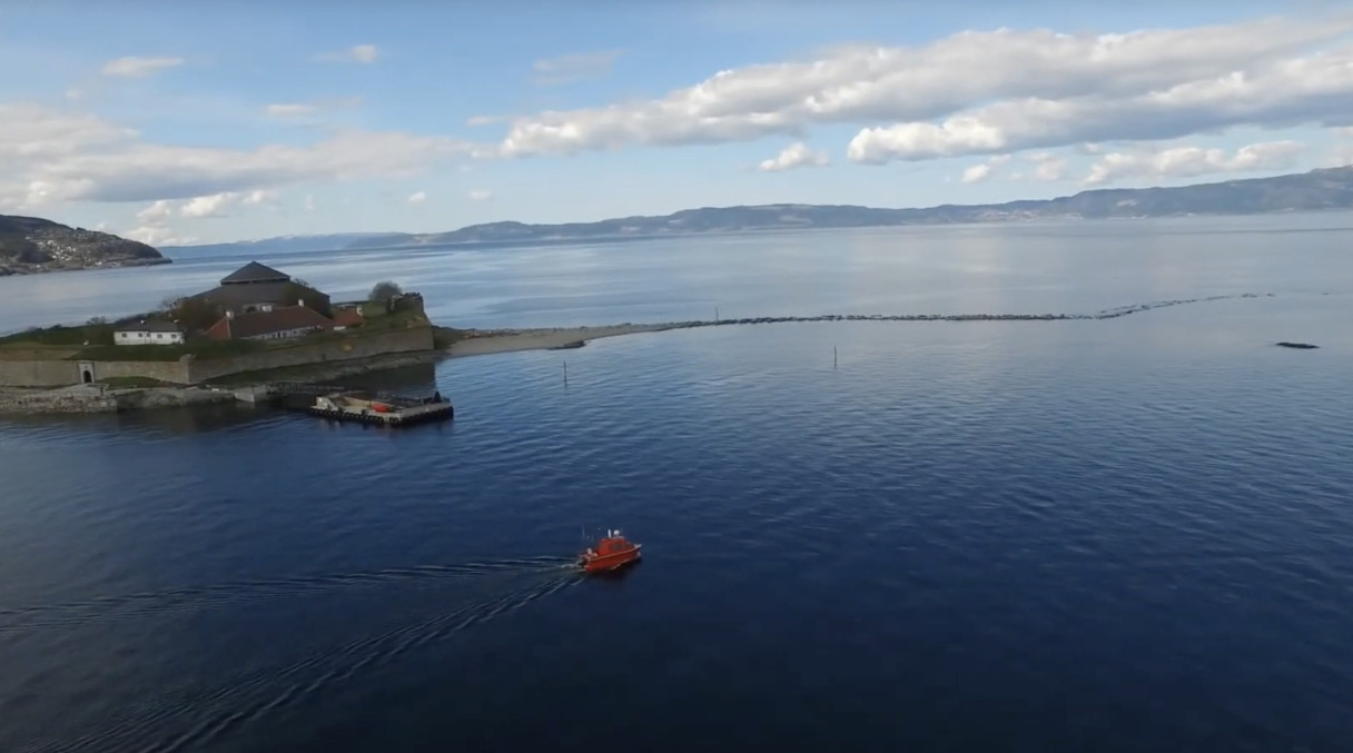
 

The USV Conversion System includes the same Vehicle Control Station, Communication and On-Board Systems as the more integrated Mariner USV system, but can also be highly customized for your special needs and requirements. Patrol boats of any kind can now be converted for unmanned operations, and equipped with custom payload and sensor solutions.


For bathymetric surveys, we often see that many users have invested in smaller, specially equipped manned survey boats. These users can now get their boats converted for unmanned operations and thus achieve the HSE and cost benefits of unmanned operations.

CONVERSION SYSTEM EXAMPLE.

INDUSTRIES

Solutions & Potential Applications 
Geophysical & Hydrographical Surveys

Geophysical Mapping, Bathymetric Mapping, Seismic Surveys, Shallow Water Hydrography, Underwater Archaeology, Seabed Node Assessment

Environmental Assessment & Aquaculture

Environmental Monitoring, Algal Monitoring, Habitat Mapping, Fisheries & Aquatic Habitat Assessment

bigWave_web.jpg
Defense & Security

Bathymetric mapping, Mine Countermeasures, Harbor Wall and Seabed Surveys, Port & Harbor Security, Boats for Target Training

Conversion System Diagram.jpg
CONVERSION SYSTEM COMPONENTS.
Modes of Operation copy.jpg
MODES OF OPERATION

- Remote control

- Semi-manual control

- Automatic/waypoint control

- Formation contro

Com.jpg
COM

COM: VHF/UHF and C-band (Optional: 4G and SatCom)

Radar.jpg
RADAR

Radar overlay in Nautical Chart with AIS objects

Collision Warning.jpg
DETECTION

Collision detection warnings

Radio.jpg
RADIO RANGE

Typical radio range with MBR: 10 NM

Camera.jpg
OVERVIEW

360º video for situational awareness

Real Time Access.jpg
REAL TIME ACCESS

Real-time access to all on-board sensor data

Support.jpg
SUPPORT

On-line and on-scene support

bottom of page