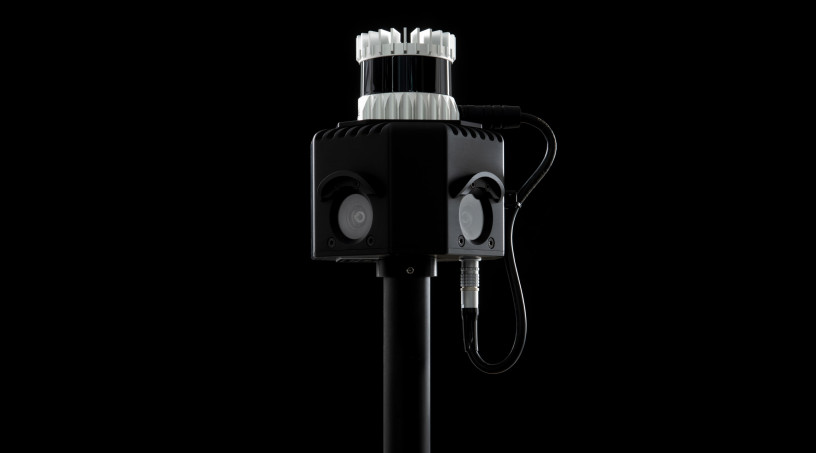
Advanced control and navigation
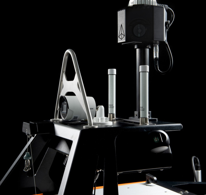
The Otter’s VCS is one of the core components of our Autonomous Navigation System, offering a highly user-friendly interface for controlling and monitoring the vessel, enabling surveys with optimal operational efficiency. The system includes various autonomous features and control modes such as course and speed adjustments, heading control, and waypoint navigation, enabling operators to plan and execute missions with ease. The flexibility of controlling the Otter through a rugged laptop or using a mobile app for manual joystick-like control enhances its mobility. Additionally, the VCS offers integrated sensor data displayed live in its multi-functional interface, ensuring efficiency, accuracy and quality control. Operators can monitor and adjust sensor data quality parameters in the VCS, enabling critical real-time operational decision making.
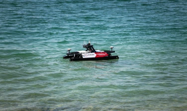
Sustainable operations
Emphasizing eco-friendliness, the Otter is equipped with electric thrusters powered by up to four powerful, easily interchangeable battery packs. This enables operational endurance of up to 20 hours at 2 knots, offering a best-in-class endurance for its size. The battery solution also guarantees quick access to replacement parts, considering its off-the-shelf components.
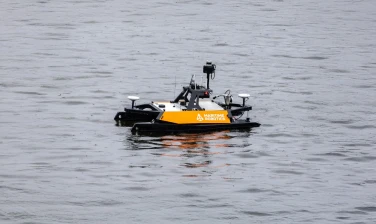
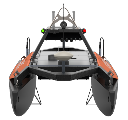
Portability and assembly
The Otter’s design offers portability and modularity. Its modular construction and lightweight build enable it to be transported in small cargo vans, ensuring accessibility to a variety of survey sites. The modular components, each weighing less than 20 kg, can be quickly assembled or disassembled by a single operator, making it easy to transport, assemble and launch the Otter at locations like lakesides, riversides and harbors.
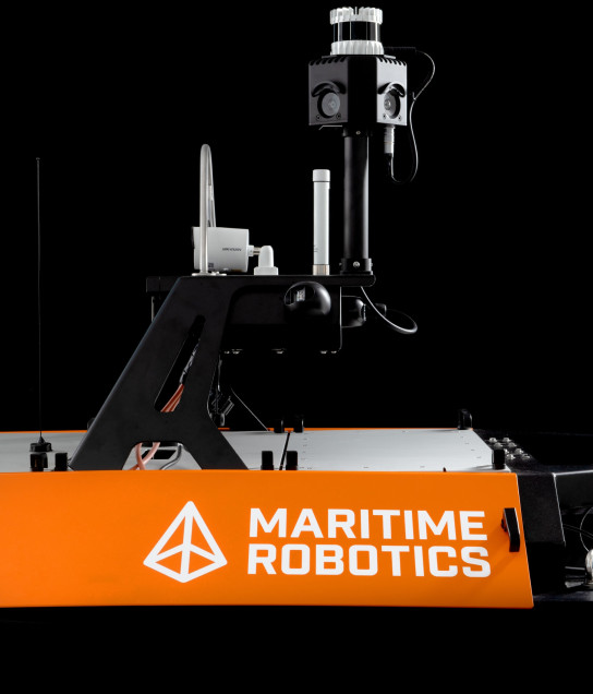
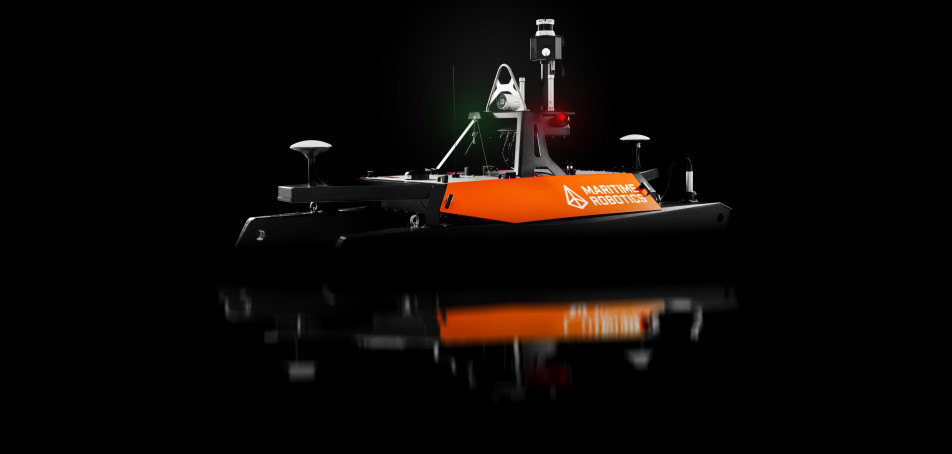
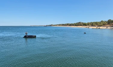
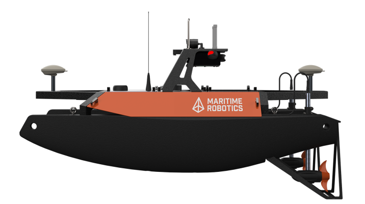
Robust design for sheltered areas
With its sturdy catamaran build and integrated survey sensors, the Otter is a cost effective, ready-to-use solution for surveying and monitoring enclosed waters and sheltered areas. Its advanced capabilities make it suitable for a range of applications, including bathymetric and hydrographic surveying, scientific data collection, as well as surveilling and securing small lakes, canals, rivers, ponds, and harbor areas.