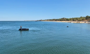
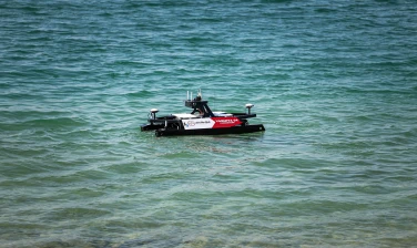
Our USV platforms are sensor-agnostic, accommodating a wide range of geophysical remote sensing equipment from industry leading manufacturers, such as single- and multibeam echo sounders, side scan sonars, sub-bottom profilers, environmental water/air quality sensors, LiDAR and radar, SVP sensors, aquatic habitat camera systems, surveillance equipment, EQ/IR camera systems, and more.
These sensor packages have proven capabilities in performing a number of different surveys, including seabed characterization studies, bathymetry, archaeological discoveries, UXO identification studies and more. Additionally, they are instrumental in ongoing seabed monitoring efforts, providing critical data for environmental and geological studies.