Enforce Tac
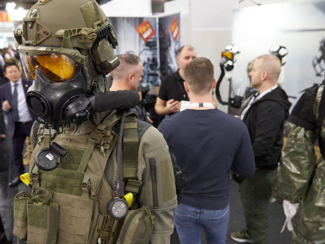
WE ARE EXHIBITING at Enforce Tac - Law Enforcement and Defence, the trade fair for internal and external security in Germany next February. Enforce Tac represents innovation, efficiency, and the exchange of expertise—all aimed at overcoming today's and tomorrow's challenges.
Oceanology International
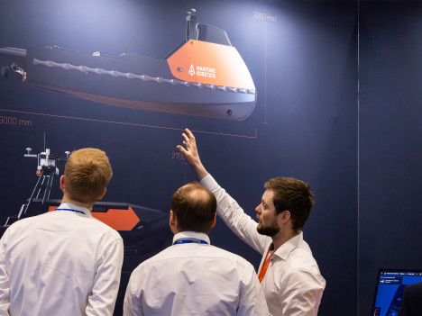
WE ARE EXHIBITING at the Oceanology International 2026. We will be returning with our daily demos of our innovative sea drones at the dockside demo area. Additionally, we will be presenting our latest technological developments, giving our visitors brand new insights into our systems and offerings. Visit us at stand D601!

Singapore Maritime Week
Asia’s leading maritime gathering, where we’re attending to connect with global partners and highlight how our autonomous solutions enable safer, more efficient, and sustainable operations at sea.

Canadian Hydrographic Conference 2026
WE ARE EXHIBITING! North America’s key hydrography and ocean mapping conference, where we’re attending to share insights, network with hydrographic professionals, and advance our survey and autonomy capabilities.
DALO Industry Days
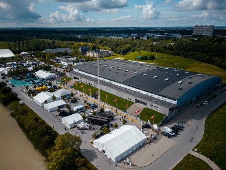
WE ARE ATTENDING DALO Industry Days 2026. The Industry Days is the largest exhibition in Denmark of equipment primarily from the defence industry. This year they focus on international participation from strategic partners in Europe and overseas.

SMM Hamburg
WE ARE EXHIBITING! One of the world’s most influential maritime trade fairs, bringing together global players across shipbuilding and marine tech; we are attending to showcase our platforms and expand partnerships in the heart of the maritime industry.
