
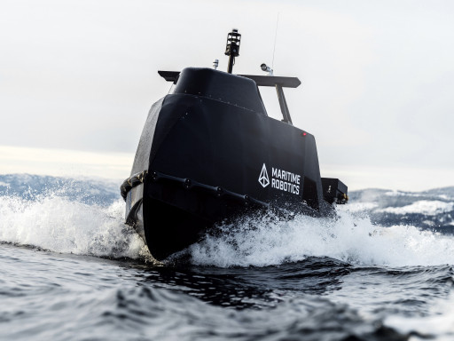
THE OTTER X UNCREWED SURFACE VESSEL (USV) for coastal and river operations. Robust and effective, designed for precise data acquisition, environmental monitoring, and surveillance.
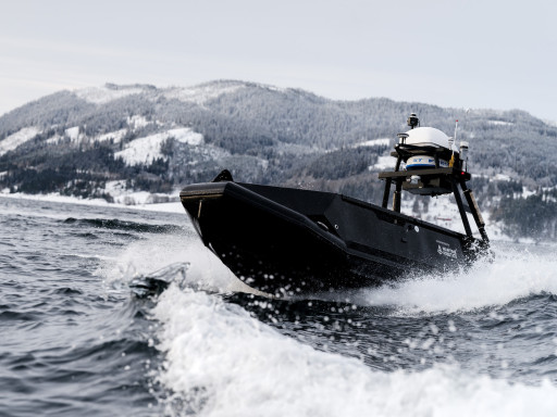
THE MARINER X UNCREWED SURFACE VESSEL (USV) for open ocean waters. Robust and effective, designed for precise data acquisition, environmental monitoring, and surveillance.
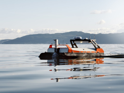
THE OTTER UNCREWED SURFACE VESSEL (USV)for sheltered and coastal waters. Robust and effective, designed for precise data acquisition, environmental monitoring, and surveillance.
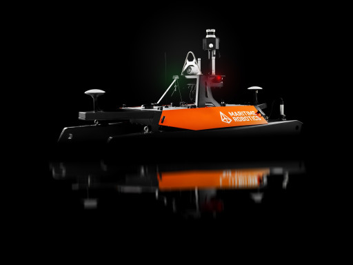
THE MARINER UNCREWED SURFACE VESSEL (USV) for coastal and open waters. Robust and effective, designed for precise data acquisition, environmental monitoring, and surveillance.